France Southeast Rhone Valley V2

France Southeast Rhone Valley V2
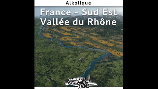
A complete update of the ‘Rhone Valley’ map. Browse the railway history of this transalpine river flowing into the Mediterranean Sea.
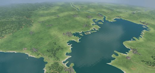
Hand-drawn and prepared map with attention to the consistent location of cities and industries. New accurate design of rivers (the Rhone is fully navigable), fields, and vegetation.
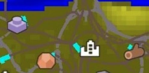
60 towns to be developed, each with its own graduated level of population and resource requirements. From the villages of the Alps without industry or commerce to the metropolises of Lyon and Marseille.
Greatly improved performance, less traffic congestion in the major cities.
Designed and adapted to the Alpine climate 700m mod.
Map features:
Actual terrain data
Megalomaniac size 1:2 16.5×33 km
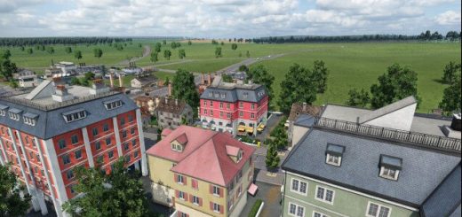
Texture and manual decorations
60 cities, 2 metropolises


