Hangzhou (China)

Hangzhou (China)
Map:
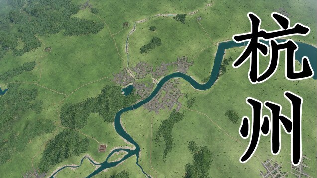
Map of the metropolitan area Zhejiang Hangzhou, Hangzhou Lake City.
Comprehensive 53 industrial sum 29 individual castle city, road network automatic generation, can direct play.
The 6th population of the census, which is based on the census of the castle city, is organized by Yuta Census, which is located in the oversized castle city (Hangzhou).
Topographical altitude-based US-based GIS number-based generation, proportionally proportional release, power-reduction original actual scene.
Cities in this map include:
Hangzhou
Tonglu
Fuyang
Lin’an
Jiaxing
Jiashan
Haiyan
Haining
Tongxiang
Huzhou
Nanxun
Deqing
Anji
Shaoxing
Zhuji
Shangyu
Shengzhou
Guangde
Inclusive and unrequited limit of mountain water elements:
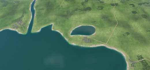
Qiantang River, diversion river, Puyang River, West Lake, Aoyama Lake, Qiantang Mountain, Nishiyama, etc.
A brief introduction of Hangzhou:
Hangzhou, formerly romanized as Hangchow, is the capital and the largest cities in Zhejiang province, China. Hangzhou is in East China and about 150 km southwest of Shanghai. It sits at the head of Hangzhou Bay, which separates Shanghai and Ningbo. Its urban population is about 6.2 million and the population of its whole prefecture is about 8.7 million. Hangzhou in Chinese means “a city related with boats.” It grew to prominence as the southern terminus of the Grand Canal and has been one of the most renowned and prosperous cities in China for much of the last millennium.


