Map Düsseldorf to Hagen Mod

Map Düsseldorf to Hagen Mod
Hello everybody,
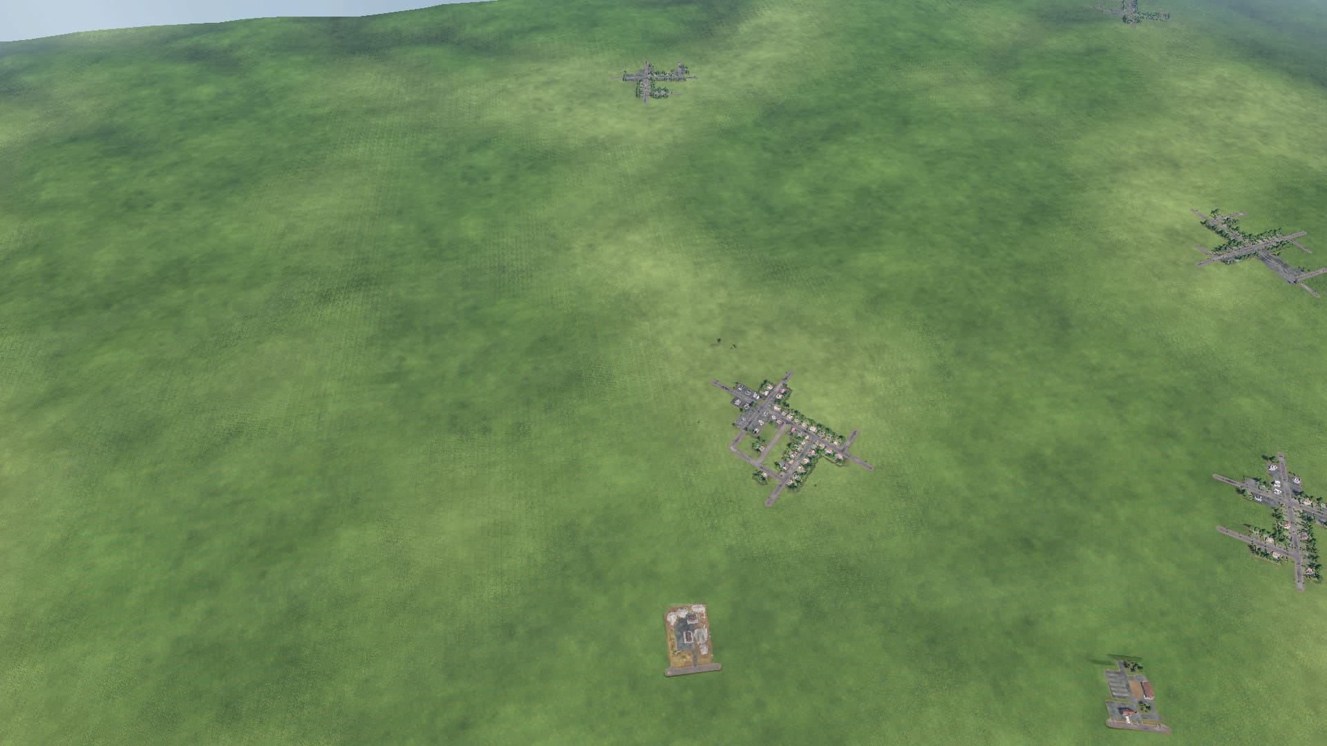
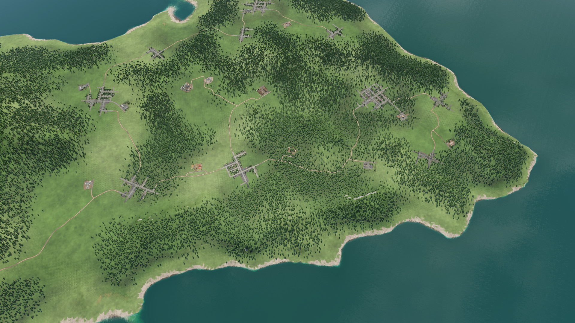
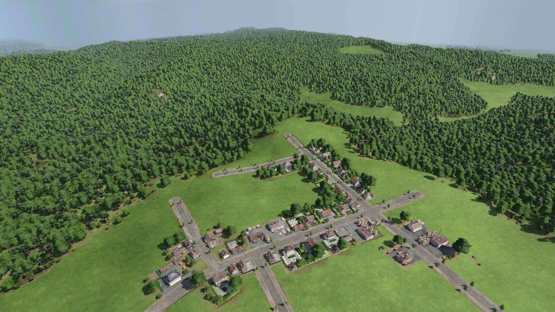
attached my first card that I publish. It is "work in progress" at an early stage.
The map is based on a height map of the area from Düsseldorf to Hagen with an extent of approx. 60x20km.
Card size "very large" in 3: 1. Scale is. approx. 2: 1. Starting year 1949 to found the Federal Railway.
The aim is to map the area as realistically as possible. The population of the cities corresponds to approximately 0.6-1.2% of the population in 1950.
Industries are built on the basis of today's operations and possibly some historical companies whose systems are still used today.
The aim is to make the map "playable" so that it is possible to gradually build up your transport company using the game mechanics. If you want, you can also use the card to make it beautiful.
Please contact us for suggestions for improvement and ideas for other industrial companies.
Next to-do's:
Add more industries
Main road connections (highways) as of 1949.
Bigger cities:
Dusseldorf
Wuppertal
Solingen
Hagen
Other cities / districts:
Haan
Erkrath
Mettmann
Wülfrath
Velbert
Ennepe-Ruhr district (Ennepetal, Schwelm, Gevelsberg, Sprockhövel, Wetter, Herdecke, Breckerfeld)


