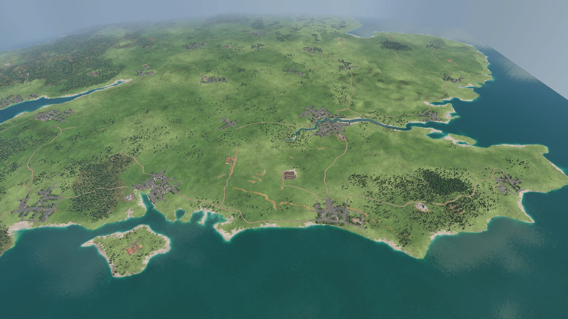
Map of Great Britain

Map of Great Britain
I tried to place the raw material distribution and the key industries around where, in reality, these raw materials and industries also existed.
Since there is no economic development in Transport Fever 2 (i.e. no completely new industries are added in modern times, where obsolete ones disappear), you have to live with the fact that around 1850 there were raw materials that did not belong there at the time (oil, plastic industry) and conversely, coal and steel in the 21st century still have the same importance as in the 19th century, which is actually not the case.
And other industries that were very important and formative for Great Britain in the 19th century, such as textiles, do not appear in Transport Fever 2 at all.
There are 3 “oil platforms in the North Sea” on the map. However, these should only be connected to the grid from 1970, because they really do not fit into the time before. In reality, the oil that is extracted there is transported through pipelines. Of course, this is not possible in Transport Fever 2, you will have to transport the oil by ship.
The map size is “megalomaniac” and has 51 cities. 3 cities are located in France and represent the trade and travel traffic with the continent.
Dublin represents this for Ireland and with Belfast there is also a northern Irish city that belongs to the United Kingdom.
London is represented by the two cities “London” and “Croydon”.
Required items:
Industry Extra Assets
Freestyle Industries
Real industries


