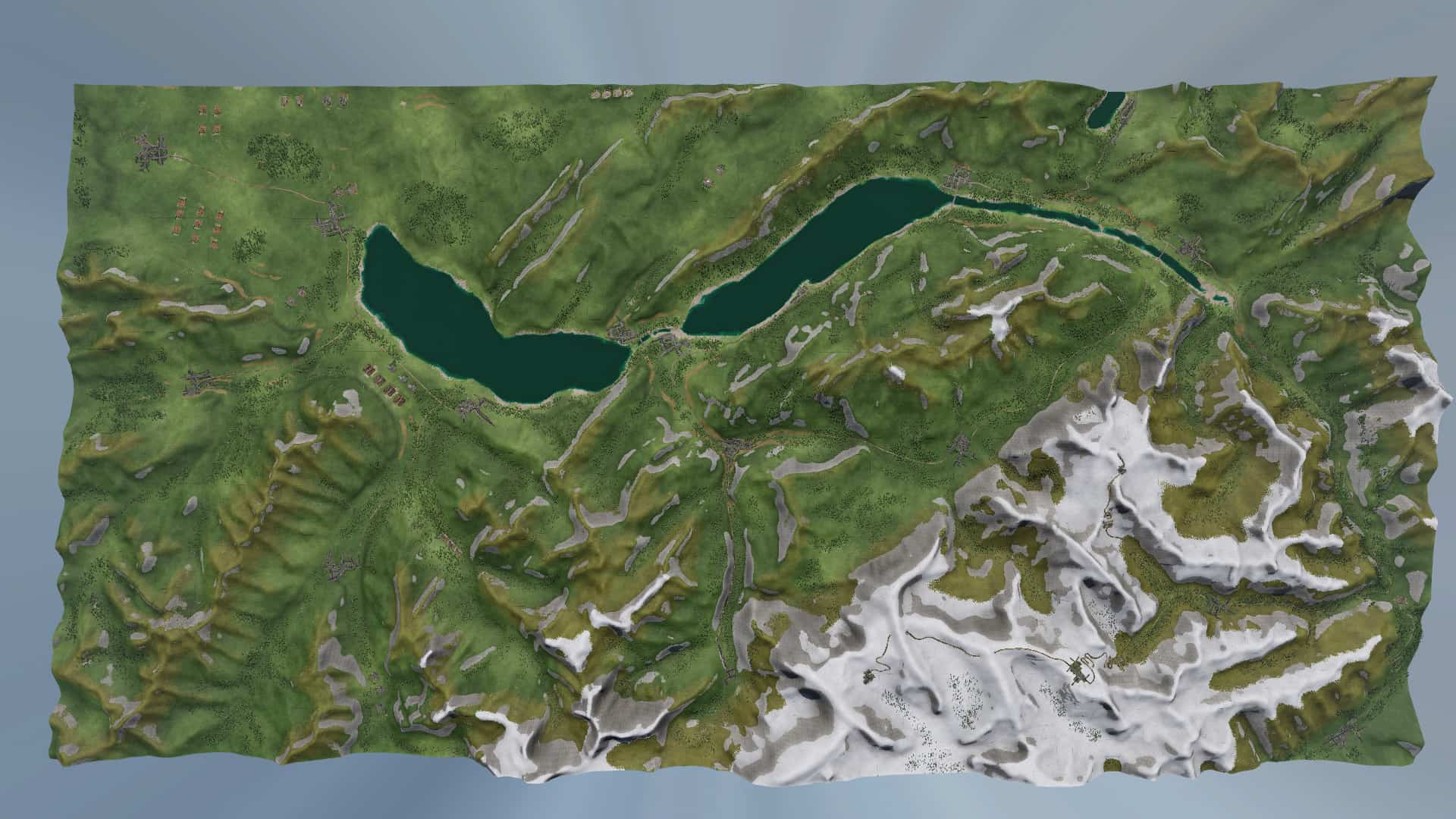
Northeast Corridor – With Industry Mod

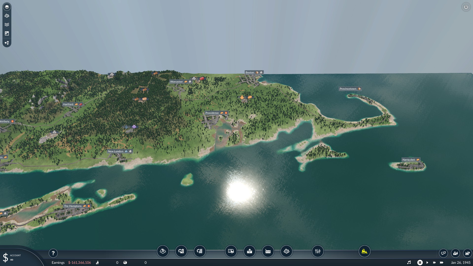
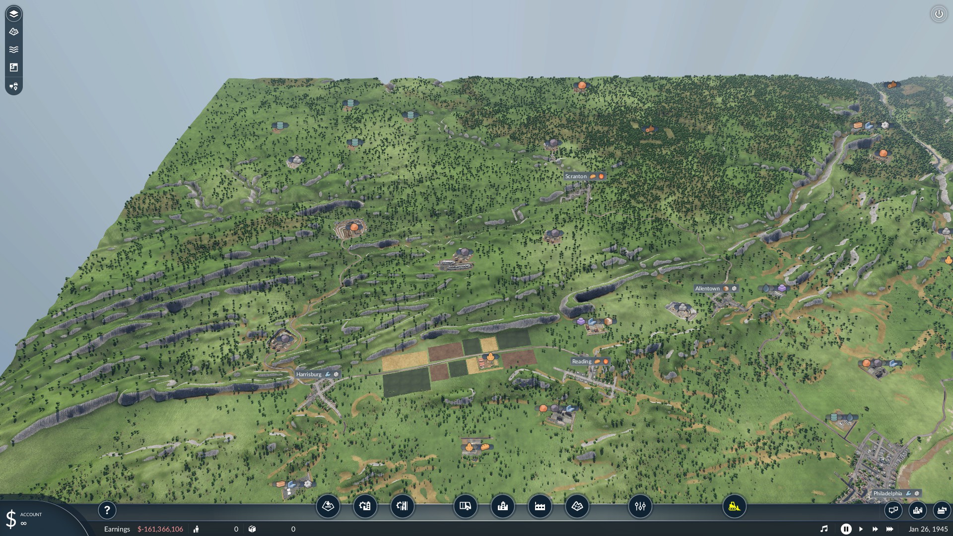
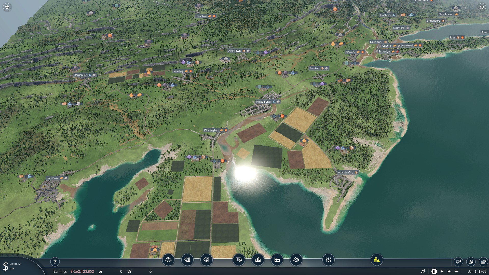
Northeast Corridor – With Industry Mod
The year is 1905 and the network of rail connecting the booming northeastern United States is beginning to take form as a prominent form of transportation. Electrification of the rail network has begun to take place and the popular Northeast corridor (NEC) known today is born!
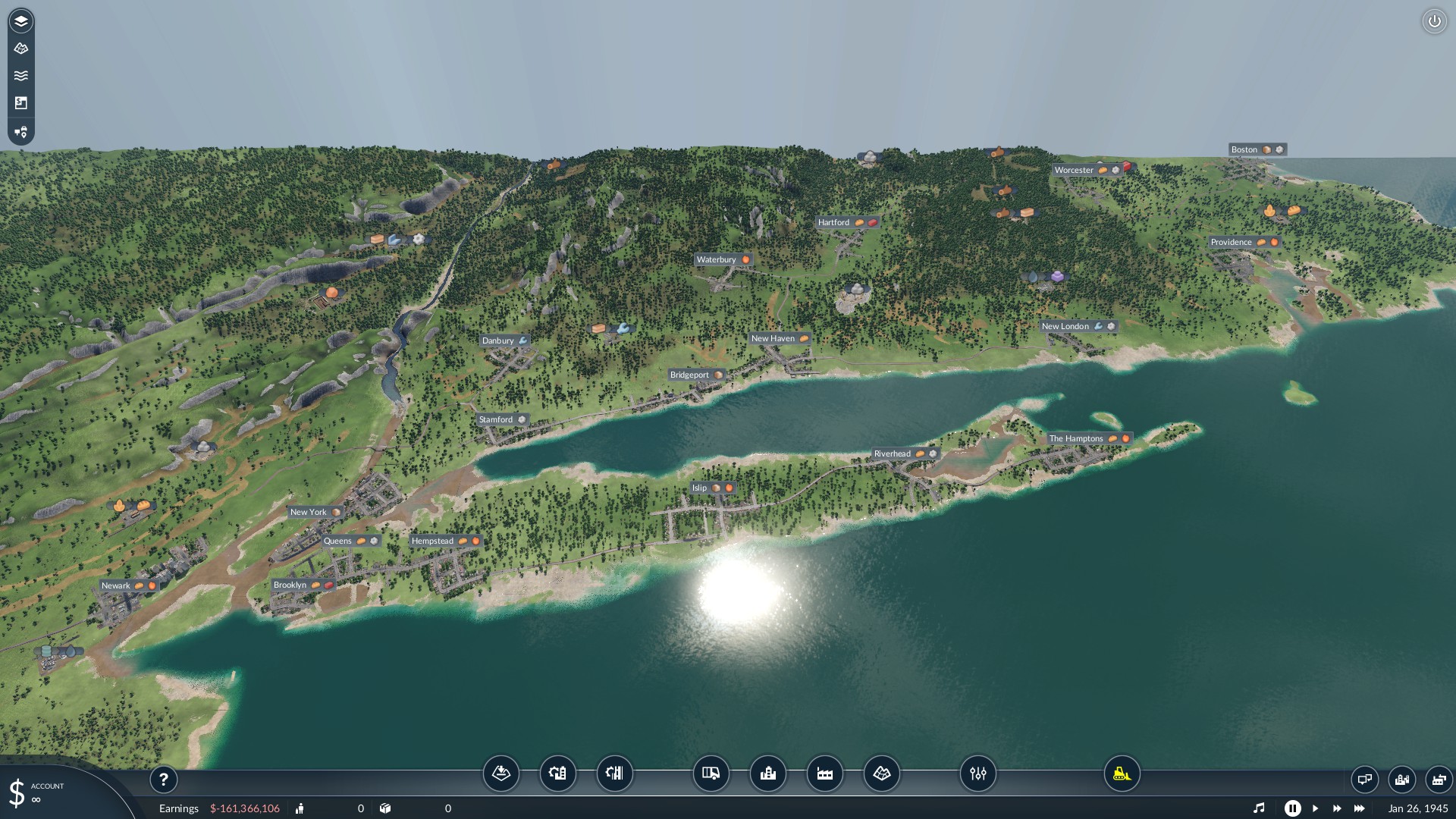
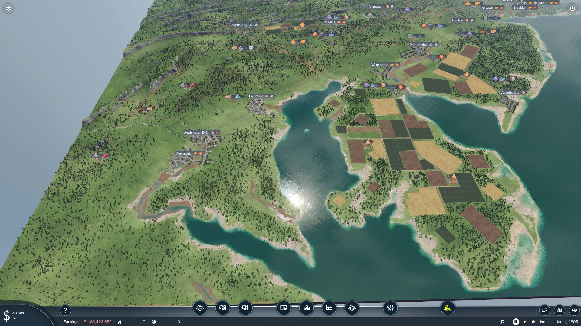
The NEC is the busiest rail corridor in the Western Hemisphere. Owned primarily by Amtrak, it runs from Boston through Providence, New Haven, New York City, Philadelphia, Wilmington, and Baltimore to Washington, D.C. Dominated by highspeed rail travel today, the corridor is also shared by various local transit authorities and freight operators along the way.
Over 50 hours of work was put into this *Large* sized map. No Experimental sizes needed or super computers!
This map features endless challenges like:
– Building the entire NEC network and moving people efficiently up and down the crowded corridor
– Connect nearby communities to the NEC system
– Providing vital connections between industries, factories, and the product’s destinations
– Coordinating traffic (road, rail, air, and water) with limited space and sometimes challenging terrain
Industry Placement:
A vast majority of the industries were placed in the same real-world locations using their real world company names through the use of accurate government and university studied data sources.
City Demands:
City product, commercial, industrial, and residential demands were also selected based on government import/export data provided by accurate government and university study data sources.
Recommended/Required Mods: Any NEC or USA assets, rail, etc. I’ll add them as required assets as they are released to the public.


