USA Mega blank

USA Mega blank
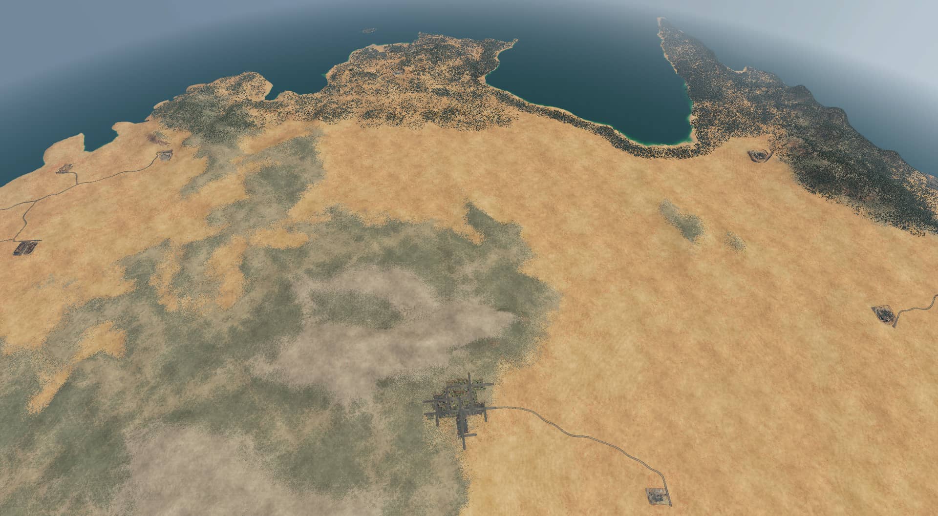
Uses real height maps. Includes the countries offshore of Florida: The Bahamas, Cuba, and Bermuda. Small parts of Canada and a big portion of northern Mexico.
Includes the Great Lakes. Note that the game does not allow water above sea level, so the depth of the Lakes has been slightly increased to ensure they still hold water.
The height map captured great details like the arm of Massachusetts, although some editing was required to ensure Nantucket and Martha’s Vineyard made it in.
Includes the Mississippi River, which has the same water-level issue as the Lakes. In addition, the true size of the River relative to the map is about 1 house in width – not Navigable water in-game rules. You may want to expand it before playing. The version presented here is a middle ground between almost unnoticeable, true scaling, and completely unrealistic scaling that’s Navigable.
Includes the Grand Canyon, which has been deepened to feature the river that runs through it.
Includes the bizarre Salton Sea in California, a man-made poison lake.
Includes Mt Hood and Mt Olympus in the Pacific Northwest.
The United States is roughly 3000mi wide, although I include a fair bit of ocean so perhaps, 3500mi. That’s about 5600km. That comes to a scale of about 170:1. So, that’s why a single house in New York takes up all of downtown Manhattan. That said, this map is still big enough to get a Pioneer Zephyr leaving Chicago up to 110mph before reaching California.
Something is broken between Steam and the game, and I can no longer update this map. Consider this v0.9 of the map, and I’m unable to update it to 1.0. In particular, there are places where the map is very uneven and the look sort of comes apart, especially in the shallows around Florida and the Bahamas. There are a number of water speckles that get in the way of the building. I’m going to file a bug with the TF2 team and see if I can update the map sometime in the future.


